There is another map under the street map.
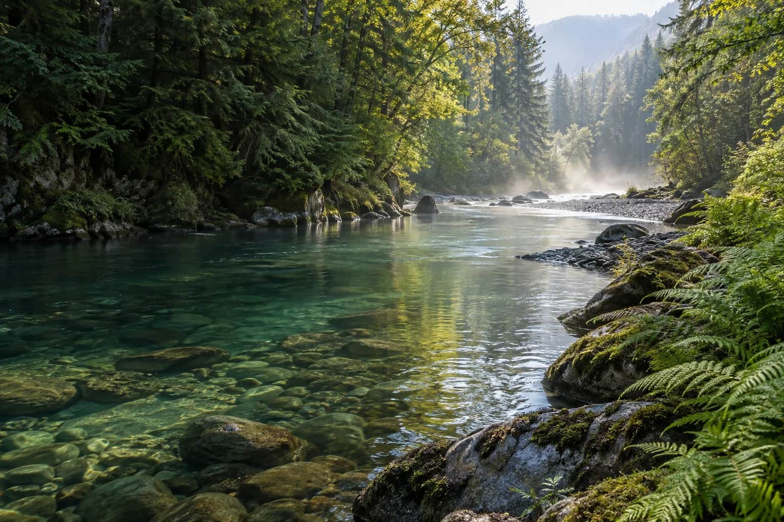
A watershed is an area of land where rainfall and streams drain toward a common outlet. Its boundaries follow the shape of the land, not city limits. A ridge can divide neighbours into different watersheds; a river can connect towns that feel far apart.
Small watersheds sit within larger ones. Following a familiar stream on a map may lead you to another river, then to a lake, an estuary, or the sea. It is a useful reminder that a local place belongs to a much wider system.
Give your everyday landscape a name.
Try looking up the nearest named stream through your local water authority, park service, or watershed organization. Start with a map you can understand. You do not need specialist vocabulary to ask where the water near you goes.
Make a small note of what you find: the name of your stream, the larger river it joins, and a group that works in the area. You now have a starting point for finding local walks, public information, and volunteer opportunities.
Turn curiosity into a conversation.
Ask a neighbour whether the stream has another local name. Look for a noticeboard at the park entrance. If a community group runs guided walks, join one and listen. There are often stories about a place that do not appear on a digital map.
Bring one question rather than trying to become an expert in an afternoon. Which parts of the waterway are publicly accessible? Who looks after the footpath? Is there a local monitoring program? Specific questions make it easier for someone to point you in a useful direction.
Keep your curiosity going.
Learn more from the organizations behind the guidance.
USGS: Watersheds and drainage basins